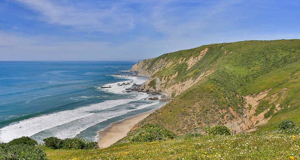
In the foggy, damp drizzle of my first afternoon at Point Reyes National Seashore, I leave the Bear Valley Visitor Center and the Earthquake Trail to drive out to the lighthouse at the point of the peninsula, accompanied by two newly purchased field guides.
The drive across the luxuriant, green coastal hills of the peninsula meanders past historic ranches and dairy farms whose histories here go back to the mid-1800s.
Contented California Cows

The lighthouse and visitor center are closed today and so I take a small path leading away from the parking lot to an overlook of the Pacific Ocean. The fog, which earlier seemed to be lifting, changed its mind and grew thicker. No wonder there is a lighthouse here.
The rocks at the overlook are granites, and I wonder how they got here and where they came from. Since I am standing on the Pacific plate just west of the San Andreas Fault, I consider that the rocks of Point Reyes peninsula have been transported north from somewhere to the south over time, and that, perhaps even earlier in time, they were “rafted in” on the Pacific plate, to collide with and accrete onto western North America. I wonder if these granites represent an earlier igneous intrusion, emplaced during some tectonic event such as subduction or even rifting. I have read a bit about the relation of Point Reyes with the Sierra Nevada Mountains and with the “Salinian Block,” and want to know more.
I flip briefly through the field guides but soon put them down. I am content to just look around for now and ponder those possibilities occurring over geologic time. I will research the tectonic history of Point Reyes soon. There is no real hurry right now.
Eventually I start back down the peninsula road. The diffuse gray light of this coastal late afternoon is rapidly fading into an early evening where the boundaries between land and sea become even more blurred. I do not care to drive back across an unfamiliar landscape in foggy darkness.


