If it weren’t for the Hurricane Canal, the southwestern Utah town of Hurricane would not exist. Begun in 1893 the canal was constructed to take water from the upper reaches of the Virgin River near present–day Zion National Park and deliver it to the early Mormon settlement of Hurricane. With a keen eye, hikers and mountains bikers today can discover ancient fossils and historic artifacts while walking or pedaling the pathway of the original pioneers who created this engineering marvel.
 |
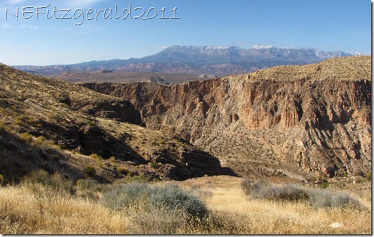
| Virgin River and Hurricane Canal from rim trail |
My own particular preferred mode of transport on the rugged dirt track of the Hurricane Canal Rim Trail has always been two booted feet without the additional encumbrance of handlebars and wheels. Honestly, I have never understood mountain bikers at all – it seems to me to be just about getting from Point A to Point B without falling off the bike. Do these poor riders ever get to look beyond the next obstacle in the trail, and pause to enjoy their surroundings? It simply doesn’t look like any fun at all!
 |
| Hiking Judy takes a break to soak in the view |
Hurricane, Utah occupies a unique position in the physiographic regions of the southwestern US. It is situated astride the Hurricane Fault within the geologic transition zone between the Colorado Plateau to the east and the Basin and Range to the west. A fascinating history of tectonic collision and crustal stretching between the two distinct provinces can be seen everywhere along the length of the 5.5–mile scenic rim trail.
 |
| Horizontal strata of the Colorado Plateau including Zion National Park to the east |
 |
| Hurricane Valley and granitic Pine Valley Mountain to the west |
To the east of Hurricane are the horizontal strata that form the classic flat–lying mesas and incised canyons of the Colorado Plateau of western Colorado, southern Utah and northern Arizona. To the west of Hurricane is Pine Valley Mountain, a granitic intrusion that pushed its way up through the overlying sedimentary formations around 20 million years ago. Beyond St. George in the western distance are found the tilted, fault–blocked mountains of the Basin and Range.
 |
| Canyon cut by Virgin River in foreground; Pine Valley Mountain in background |
There are two segments of the trail loop system, high along the rim and lower along the canal itself. My favorite is the rim, with its expansive views and easy rolling ups and downs. The trail is constructed on the fossiliferous and cherty limestones of the Kaibab Formation. These rocks of the middle Permian Kaibab Sea (≈ 260 million years old) are remnant of a near–shore, warm shallow marine environment when the future Utah was near the equator.
 |
| Brachiopod fossil |
 |
| Chert nodules in limestone; JO and her hat for scale |
These limestones are the lowest and oldest rocks to outcrop in Zion National Park and also form the upper (and so youngest) rim rock of Grand Canyon to the south. Sedimentary layers of this ancient Kaibab Sea could be thought of as a middle step in the vast erosional feature known as the Grand Staircase of southern Utah and northern Arizona.
 |
| Hurricane Canal rim trail |
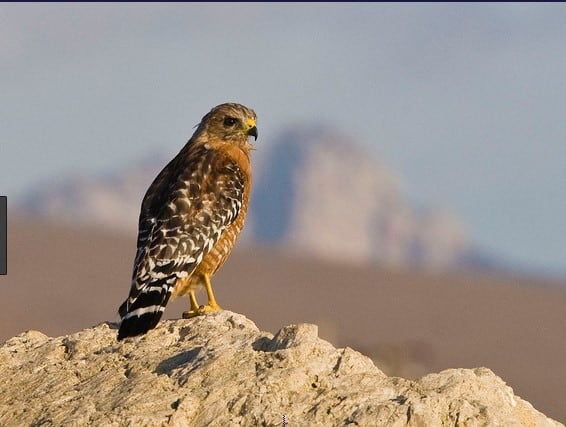
Any crisp sunny winter day is unquestionably a fine time to get out there and keep company with the soaring hawks and skittering lizards. Keep an eye out for fossil brachiopods, bryozoans, corals, crinoids, and sea urchins. They are fairly easy to spot, especially if you are on foot!


