After five week days of work and two weekend days exploring the park, I am finally beginning to get my bearings around Yellowstone. I had serious plans for those two days off – I wanted to cram as much sightseeing into them as possible. Somehow, though, I was lucky enough to cram in a bit more than was originally planned.
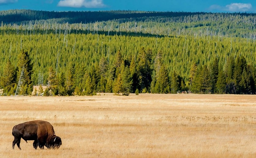
Since Thursday I’ve driven in sleet across just-opened Dunraven Pass, walked through sulfurous steam all over Norris geyser basin, hiked in snowy mud from Artist Point to an overlook overlooking the lower falls on the Yellowstone River, gotten delayed in bison jams in Hayden Valley, taken tons of photos, and loved every minute of it. The weather has gone from sunny to cloudy to spitting snow sideways to drizzly sleet mixed with rain and back to sunny blue sky and everything in between. As of yesterday morning, much of West Thumb of Yellowstone Lake was still littered with broken ice but the rest of the lake is an ice-free frigid blue.

I had not intended to drive across Dunraven Pass. My initial intent had just been to go to Norris from Grant Village. The highest road in the park, it connects Canyon Village with Tower Junction and goes across the pass at 8880 feet above sea level, (or 8859 feet, depending on which map you’re looking at). It is generally closed all winter due to heavy snow and more recently due to avalanches. But the road had opened the previous day, and I was right there at Canyon, so I thought to myself – why not? It’s my day off – I can do whatever I want!
So off I sailed up the mountain at the lightning speed of 35 mph. The winding road was clear but the snowdrifts on the sides of the road kept getting deeper and deeper. As the road crested Dunraven Pass, rain turned to hail; soon sleet was blowing sideways and I wondered if they’d close the road again while I was up there and no one would know where I was and I would freeze to death in my little Subaru with just a measly Clif bar to nourish me during my final days on Earth.
So I parked at the pull-out anyway, put on a jacket, and got out of my warm car. I figured I might as well take a look around at my final resting place. The interpretive sign read “Heart of the Caldera.” I took this as a good omen.
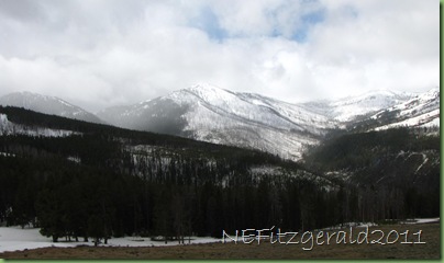
 Dunraven Pass sits on the northern edge of the giant Yellowstone caldera. Standing up there, I was able to get a sense of the immense size of it even viewed through the sleet and heavy gray clouds. It measures roughly 45 miles northeast to southwest and 30 miles northwest to southeast. The center of it is mostly forested and flat terrain, covered by one lava flow after another after the last major monster eruption of ≈ 640,000 years ago that blew beyond forever some 240 square cubic miles of magmatic and crustal real estate. This latest mega–eruption overlaps and obscures an earlier, even bigger event (if you can imagine anything so ginormous occurring at all) located more to the southwest which exploded ≈ 2.1 million years ago, taking an estimated 600 square cubic miles of Earth’s geology with it.

To the east is Washburn Hot Springs, steaming in the image above in the bare, gray areas surrounded by forest. The springs exist due to hot water rising along the fault lines which encircle the caldera floor.
So the road across the pass seems to traverse the side of Mt. Washburn, at 10,243 feet one of Yellowstone’s highest peaks and a popular day hike. As I gazed about, I wondered about summer hiking prospects on Washburn, and exactly when the snow would be melted so some visiting friends and I could attempt a July assault on the trail. I hadn’t thought to bring any snowshoes.


