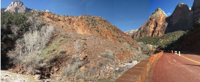
If there occurs a heavy downpour or a sustained rain in southern Utah, you can be pretty sure that at least some of the hillsides in Zion National Park will end up downstream PDQ.
When the skies finally cleared following a week of steady rain, I went over to the park to have a look at a well-known historic (and recurring) landslide in the main canyon along the Virgin River. I could have just driven to the slide and parked nearly, but what would have been the fun in that? I was, after all, in Zion on Christmas Eve day.
Here is an excerpt from a utahgeology road log for this section of Zion Canyon —
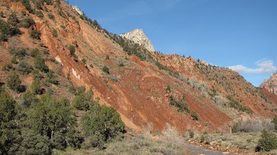
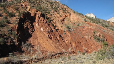
Landslide area makes the narrow V-shaped inner gorge and the debris-littered slopes above. Kayenta beds apparently have slumped to restrict the Virgin River. Kayenta Sandstone blocks are strewn over the more shaly active lower part of the formation. The slump or landslide area appears to have formed a dam across the Virgin River in the past …
For my walk I started at the visitor center and walked up-canyon along the paved Paruus trail for its 1.8 mile length to Canyon Junction where highway 9 crosses the Virgin River in the park.
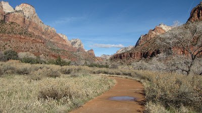 |
| Paruus Trail |
From the junction it is another half a mile or so to the slide area. This scenic drive follows the course of the Virgin River which is on the left side of the road as you travel up the main canyon.
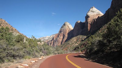 |
| Zion Canyon scenic drive above Canyon Junction |
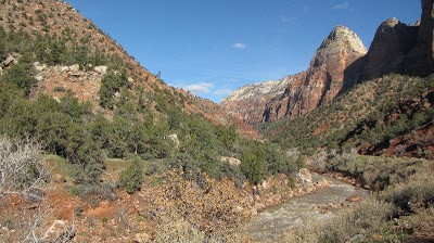 |
| Virgin River |
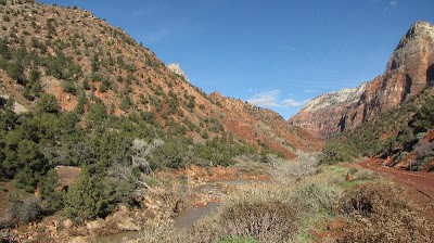 |
||||
| Nearing landslide; scenic drive on right |
In 1996 heavy rains caused a landslide which closed the scenic drive for a week. People at Zion Canyon Lodge were stranded for three days until crews could clear the road. The road section had to be re-built. It wasn’t so bad this time, though. Last week the park was closed for just one day; also, the Lodge and Watchman campground were evacuated. Everything was re-opened the next day.
Only one lane of travel is open on the scenic drive now, but I am not sure why. It didn’t look like the river had washed up onto the road. Perhaps there is some undercutting of the road bed?
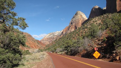
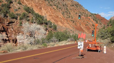 |
| Springdale Sandstone is on left of image |
I did not hang upside-down on the retaining wall by my ankles to see what sort of damage had been caused underneath the road near the recent slide.
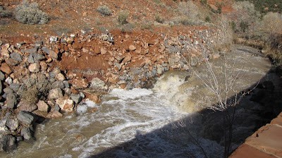
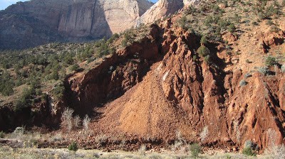
In the next several images the Virgin River can be seen as it cuts through the recent slide debris.
 |
|
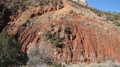 |
| Blocks of slumped Kayenta sandstone? Or in-situ Springdale Sandstone? |
Next, I followed this ledgy sandstone out (middle of image); it’s got to be the resistant Springdale Sandstone below the siltstones and sandstones of the slumping Kayenta Formation.
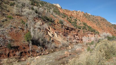 |
| Springdale Sandstone beneath Kayenta slide material |
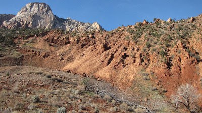 |
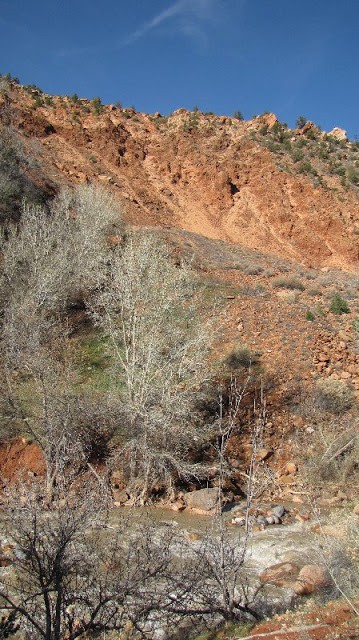
| Top of landslide |
As you stand here and look down the road, the “beehive” of Navajo Sandstone should actually be behind you and to the left. My landslide-photo stitching technique leaves a bit to be desired!

