 |
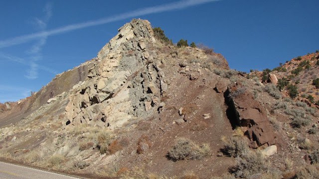
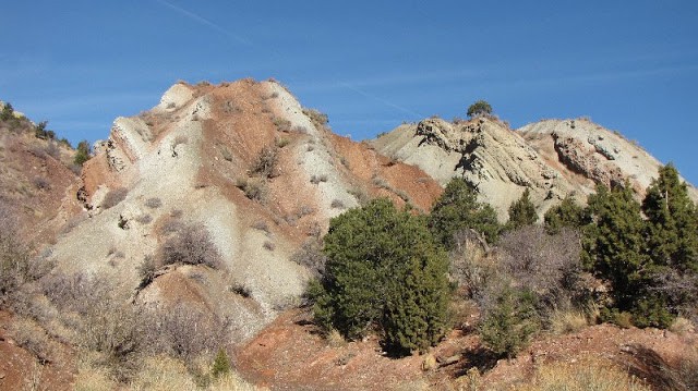
| Tilted Moenkopi Formation rocks at the mouth of Cedar Canyon |
The other day I hopped into my car and drove 120 miles round trip, just to look at a road cut.
This is definitely not your garden-variety road cut. The last time we inspected these rocks they were horizontal.
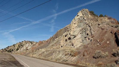 |
| Highway 14 road cut in Cedar Canyon |
Last month I wrote about a hike I did with a friend on Grafton Mesa (“Five Million Years In Six Hours,” November 22, 2010), up a trail through the Early Triassic Middle Red, Shnabkaib and Upper Red members of the Moenkopi Formation and on top to the younger Late Triassic Shinarump Conglomerate of the Chinle Formation (try saying that 3 times real fast!). These rocks near Zion National Park display the classic flat-lying sedimentary layering of the Colorado Plateau, and they can be followed across hundreds of square miles in the Four Corners states. There has been little tumultuous tectonic activity to disturb most of these rocks since they were deposited somewhere between 245-210 million years ago.
However, not that far away from Grafton Mesa (if you happen to be a crow), in the mouth of Cedar Canyon at Cedar City, these same rock layers have been thrust forward over each other, hurled upside down on top of and beneath each other, and tilted to near vertical configurations relative to each other. This tectonic turmoil continued for nearly 100 million years, from about 140 million years ago to 50 million years ago, during what is referred to by geologists as the Sevier and Laramide Orogenies (orogeny means mountain building) of western North America.
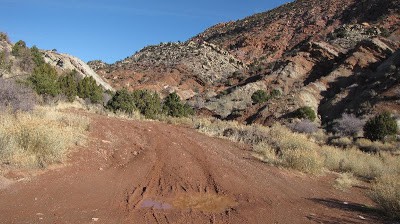
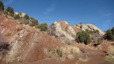 Every once in a while I just have to go to Cedar Canyon and gaze in awe at this road cut and its dissecting canyons. It had recently snowed, though; this day I was unwilling to slog very far through the muck of upended red mudstones and white gypsum beds. When I was in field school a couple years ago I did a mapping exercise of these rocks – for several days I climbed across and through the limestones, sandstones, mudstones, and conglomerates, trying to wrap my mind around it all. I eventually started to understand the relation between the repeating rock layers themselves and how they could indicate a thrust fault that itself had been deformed during the mountain-building.
To visualize all this thrusting and folding and what-have-you, think of a throw rug on a hardwood floor. If you push forward on one end of the rug, what happens? The rug folds in and up and over on itself. The more you push, the more it folds. This is the basic concept of what happens over geological time during mountain-building events such as the Sevier and Laramide orogenies. We can easily see this folding and faulting in cross-section in Cedar Canyon. Other younger rocks have also been tossed into the visible record of geological mayhem so magnificently displayed here.
It is a special road cut – but then again, at the end of the day, I could stop at every road cut I come across. They all make me crazy in such a good way.
