Living the Dream, Day 5 – A Wild Ride in the Grand Canyon Supergroup
Saturday, May 9, 2015: Up early. Slept fairly well last night, after organizing sandy tent stuff and composing Friday’s journal entry in the dwindling daylight. Camped beneath walls of the Precambrian Dox Formation and Cardenas Lava. It looks like yesterday’s storm has passed, leaving lingering thready clouds and a sunrise reflecting orange on the distant cliffs. Or is it pink? Or burnished yellow–gold–chrysanthemum?
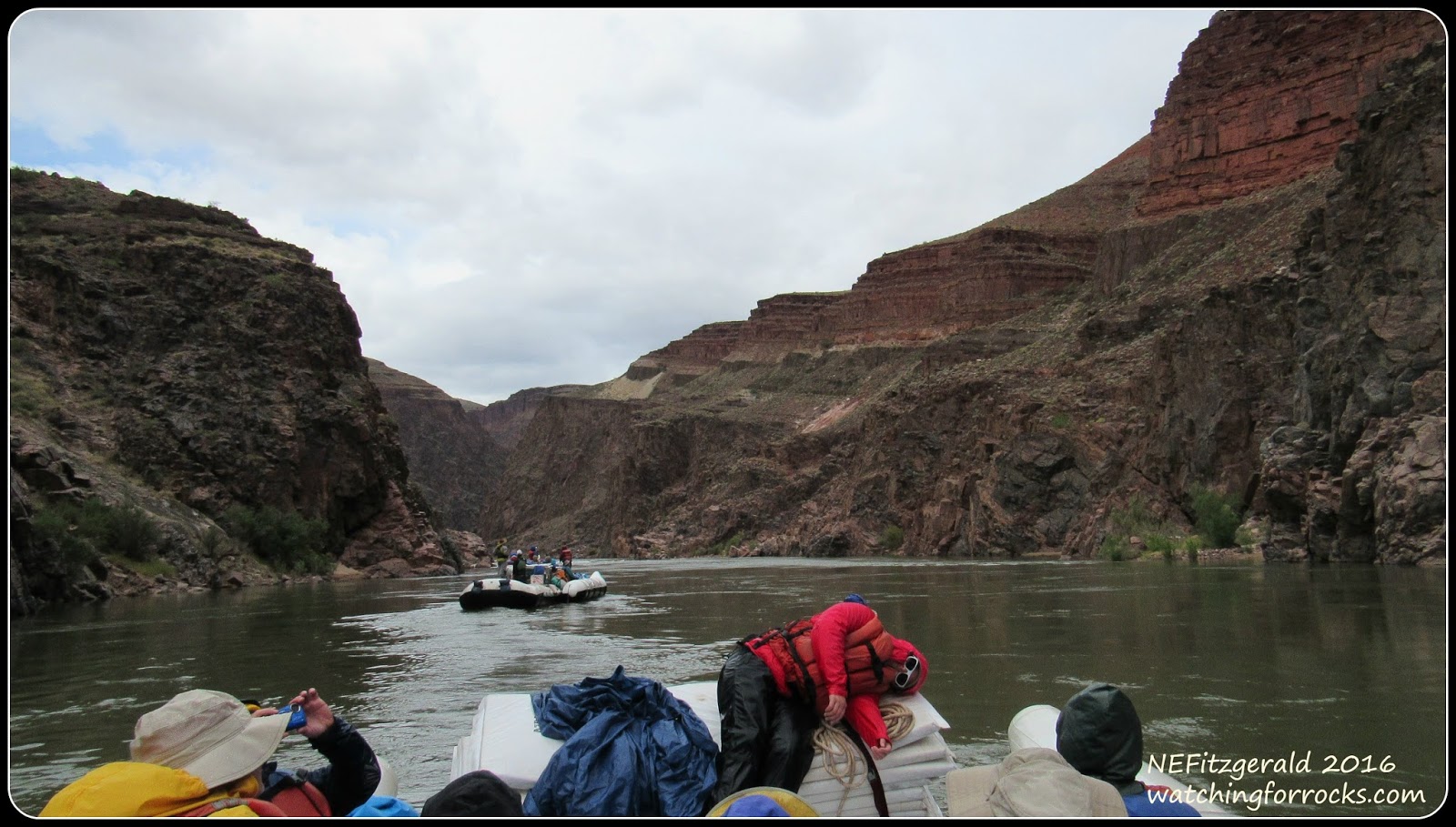
We are advised to put on our long thermals in anticipation of today’s frigid ride. Kris and I are glad that we each have a blue bag full of layers and rain gear. Hypothermia is something we hope to avoid. After a tasty breakfast (more scrambled eggs and cowboy coffee!) we gather along the river bank in our bucket brigade and heave every bit of camp gear back onto the boat. Another day of rafting on the Colorado River has been launched.
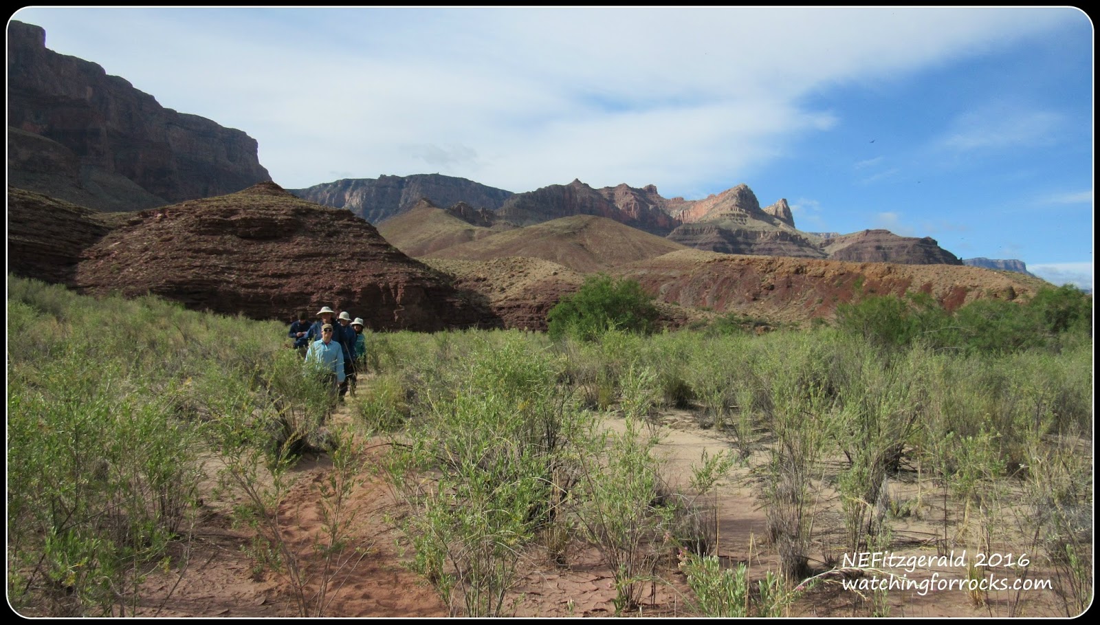
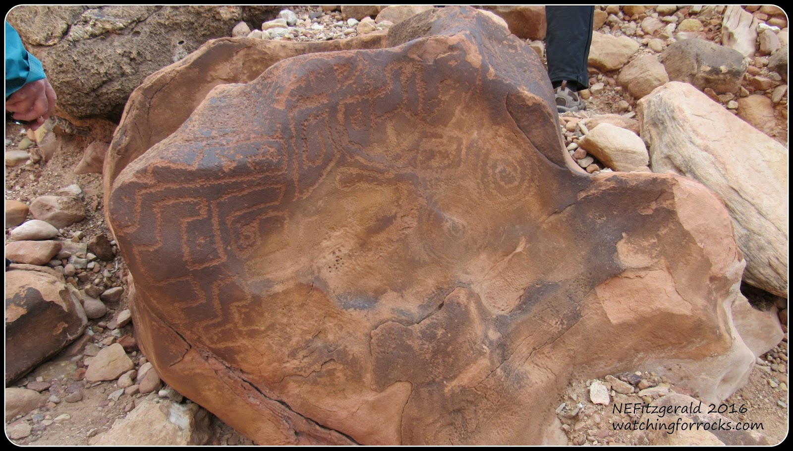
We take a short hike to some petroglyphs (click on any pic to enlargenate
The Cardenas Lava towers above and behind the Dox Formation
Petroglyphs etched into weathered sandstone
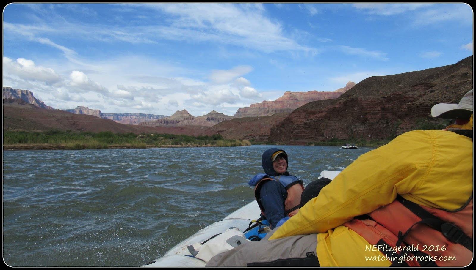
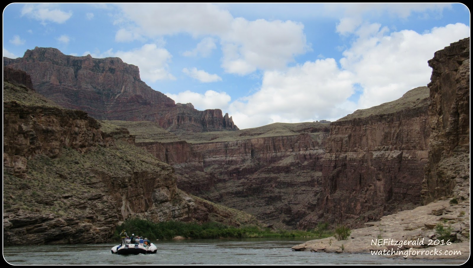
From the hillside we see the sky reflected in our first rapid of the day, and a fine rapid it appears to be. Dang, that sky is blue!
Tanner Rapid awaits at river mile 69
A few minutes later we are in it, the first of some 29 rapids on a day I will forever call “The Wild River Ride!”
Jay gets his groove on for the rapids
A wide, calm stretch between the rapids
Tanner, Hance, Sockdolager, Grapevine, Zoroaster, Horn Creek (between the horns), Granite, Hermit (yikes!), Crystal (a biggie at 10+), Tuna Creek, Agate, Sapphire, Turquoise, Ruby, Serpentine, Bass – today we run them all and more, under the guidance of boatmen who seem to know what they are doing, all while wearing wardrobes that are strictly river guide chic.
Guide BJ in his Rasta cap
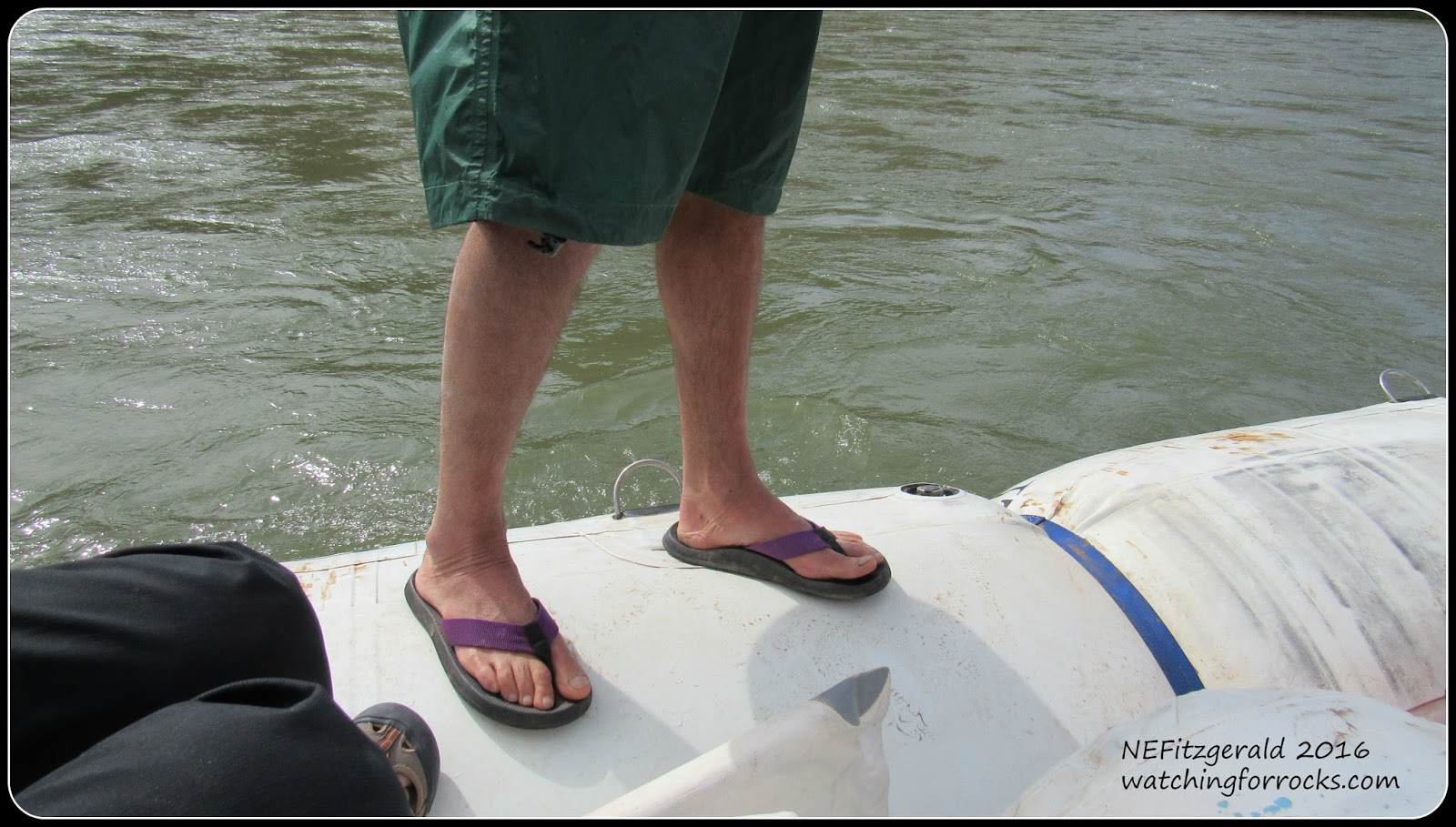
I don’t know how the guides maneuver in this footwear.
Kris and I wedge ourselves neatly into the back of the boat, in front of the guides who steer from the rear. We are layered in early May Colorado River white water regalia – thermal underwear, fleece top, hiking pants, rain pants, hat, rain jacket, neoprene booties and socks (which were bought at the last minute and totally worth paying full price!), and whatever other layers we pull out of our over–equipped blue bags. It certainly isn’t July with triple digit temperatures today.
Yours Truly on the right, with Kris next to me
Our time near the Cardenas Lava is brief. The igneous sills and dikes of the 1.07–billion–year–old Cardenas can only be seen near river mile 65 in eastern Grand Canyon, above last night’s camp site. Volcanic activity that brought about the eruption of Cardenas Lava onto sediments of the Dox Formation marks the end of deposition of the Unkar Group. We, on the other hand, are just beginning our down–canyon journey into earlier and older layers of the Grand Canyon Supergroup and beyond.
From one rapid to the next, the motor hums us quietly along. I never do think to ask the guides about the average speed of the river’s current. Oh, well.
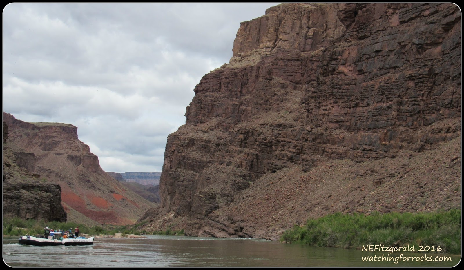
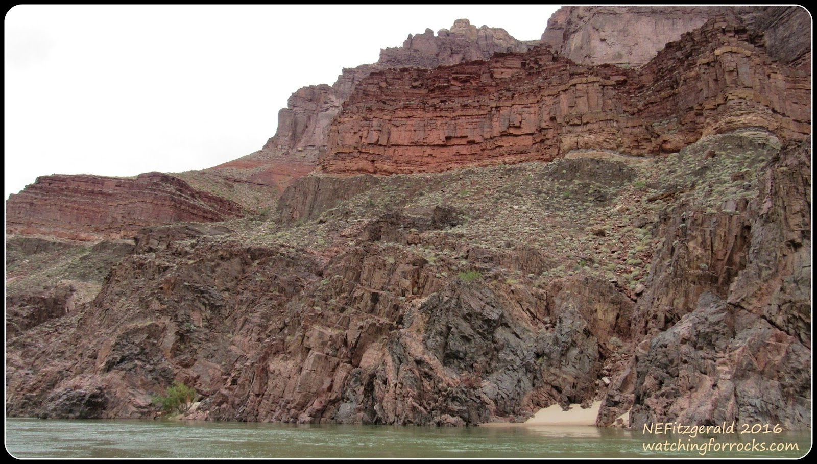
Heading into the Shinumo Quartzite
Beneath crumbly slopes of the Dox Formation rest massive sandstone and quartzite cliffs of the older Shinumo Quartzite. This part of northwest Arizona was once at the margin of a continent, river and delta sediments depositing themselves at the edge of a shallow sea (click here for my previous post about the Grand Canyon Supergroup). I valiantly try to keep track of where we are along the river and in what rock formations. If it weren’t for my handy dandy river map and guide, I would still be wondering, ten months later.
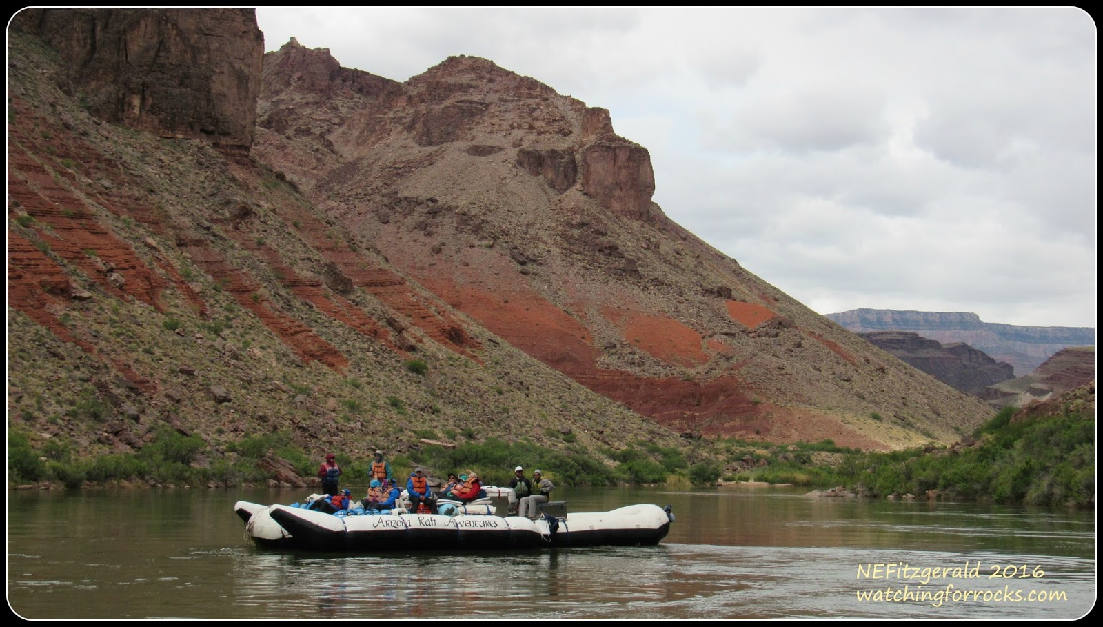
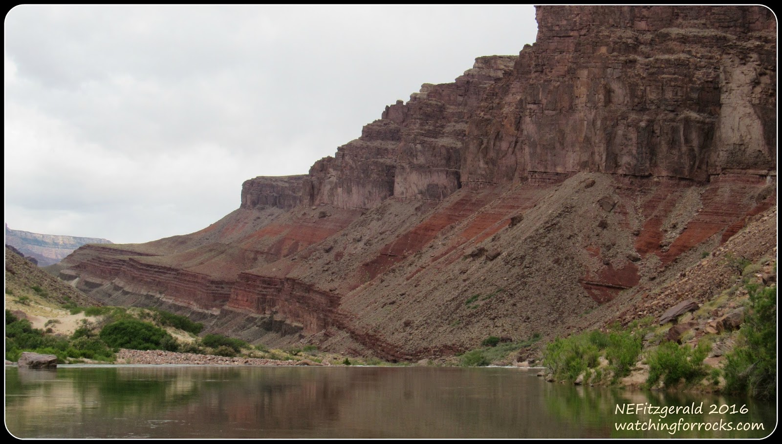
Gradually the brick–red slopes of the Hakatai Shale begin to appear at river level, beneath the cliffs of Shinumo Quartzite. We are still within the tilted beds of the Grand Canyon Supergroup, descending further into the timelessness of sedimentary rocks more than a billion years old. The scene is nothing short of mesmerizing.
Past the Shinumo and into the Hakatai
The brick red of the Hakatai Shale comes in at river level
I rarely have good enough timing to turn on my camera video while the guides are telling us tales. This is one of those rare occasions that I manage to catch a bit of BJ’s river narrative as he tells us about our impending ride through Hance Rapids.
And the visual hits just keep on coming. I am on geologic overload, torn between taking pictures and putting my camera down to just gaze at this extraordinary world in which I find myself. There are indeed times when I do set the camera aside, tucking it up inside the small blue bag beside me. But I feel a need to record these layers not only in my mind but also with my camera, because I know I will not be back down here any time soon.
One of my favorite images of the entire journey – just because…
As I write this, ten months later, I am very glad I took so many pictures. Each time I sort through these images I get to revisit the Canyon, and live my dream once again.
Has Kim succumbed to geologic overload already?
We are soon passing through the Bass Limestone and Hotauta Conglomerate. Deposited by a shallow Unkar Sea starting around 1250 million years ago, they are the oldest layers in the Unkar Group.
Sandwiched between the Bass and Hotauta sediments and the swirling metamorphic rocks beneath them is a span of missing time that encompasses nearly 500 million years.
Layered over swirling –
The sedimentary rocks of the Unkar Group overly even more ancient metamorphics
Without our even noticing, the clouds have thickened, obscuring the sun and any warmth it might offer on this early May day. The wind has also picked up, and so we shiver in the chill, and hunker down just a little bit more. The canyon is narrowing. The sky has darkened, and so have the rocks around us.
Near river mile 79, at Sockdolager Rapid, we say goodbye for now to the Supergroup and enter the narrow depths of Granite Gorge and its Precambrian Vishnu Schist and Zoroaster Granite. Today, we will stay within these ancient metamorphic rocks for more than 30 river miles. Now known as the Grand Canyon Metamorphic Suite, these 1.8 billion years old rocks underwentunimaginable heat and pressure are the deepest, darkest, oldest and baddest rocks in Grand Canyon! I have waited many years to see these rocks, and have finally arrived within them. As the saying goes, rocks don’t suffer metamorphism, they enjoy it
Entering Granite Gorge
***************************************************** References: Abbott, L., and Cook, T., 2004, Hiking the Grand Canyon’s Geology, The Mountaineer BooksBeus, S., 2003, Grand Canyon Supergroup, in Beus, S. and Morales, M., eds., Grand Canyon Geology, 2nd edition, Oxford University PressBlakey, R. and Ranney, W., 2008, Ancient Landscapes of the Colorado Plateau, Grand Canyon AssociationCollier, M., 1980, An Introduction to Grand Canyon Geology, Grand Canyon Natural History AssociationStevens, L., 2013, The Colorado River in Grand Canyon – River Map & Guide, Grand Canyon Wildlands Council
Hey there, I'm Katherine Hanson, the curator of watchingforrocks.com, a site dedicated to uncovering the hidden gems of the USA. With a passion for exploration and a love for discovering the beauty in every corner of this vast country, I'm on a mission to share the best cities, national parks, historic landmarks, and entertainment hotspots that the USA has to offer. From towering mountains to bustling cities, there's so much to see and experience. Join me as I embark on adventures and uncover the wonders that make America truly remarkable. Facebook / E-mail: [email protected]